Home Walks & Hikes Kit Reviews Routes & Products Guided Walks Free GPX Mindset Reset Book a Walk
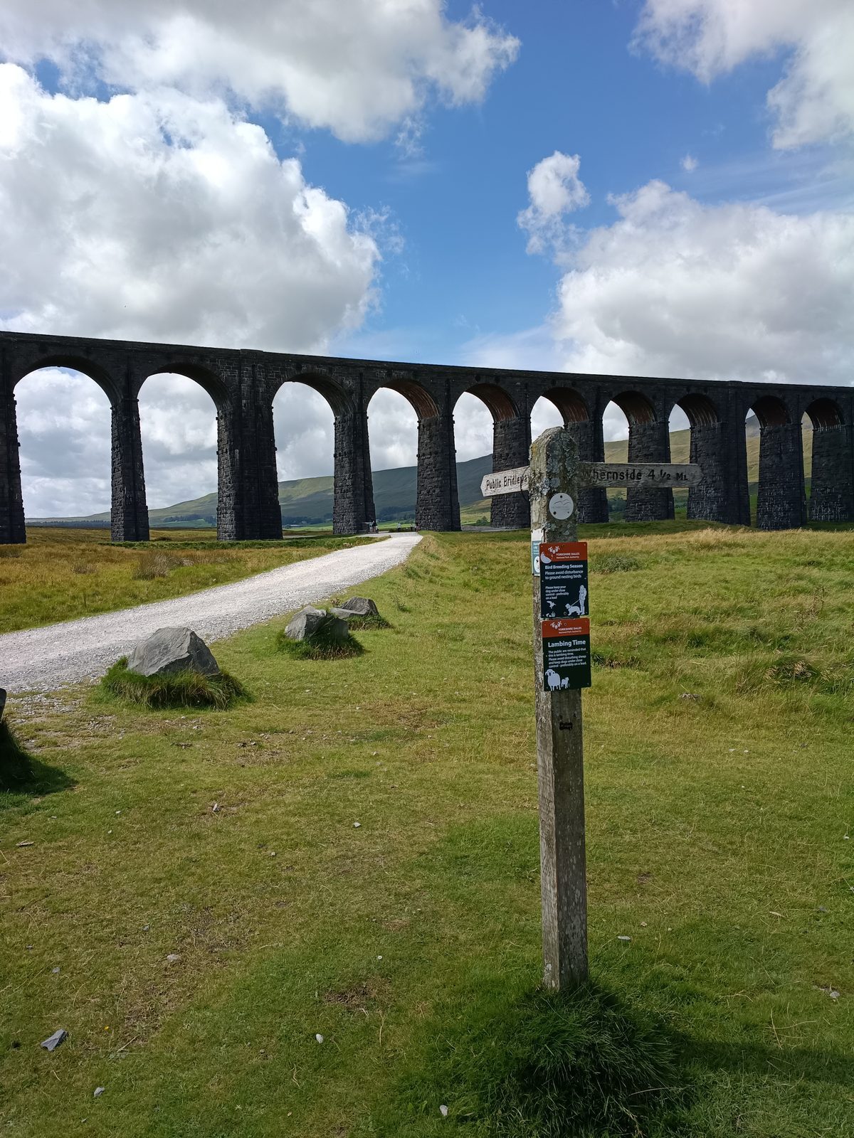
Ribblehead Viaduct Yorkshire Dales
Yorkshire Dales
The Yorkshire Three Peaks Challenge
24 mi Distance 1,585m Ascent 10-12 hrs Time Challenging Grade

Pen-y-ghent, Whernside and Ingleborough in a single day — one of England's most iconic walking challenges. Here's everything you need to know to take it on.

Read the guide →
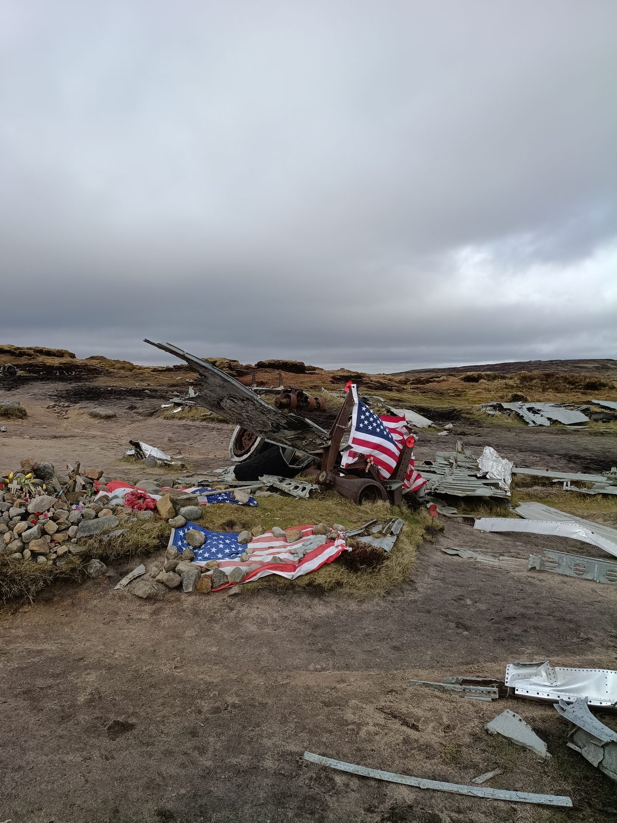
B29 Superfortress wreckage on Bleaklow
Peak District
Bleaklow & the B-29 Superfortress Crash Site
8 mi Distance 450m Ascent 4-5 hrs Time Moderate Grade

High on the dark peat moors of Bleaklow lie the scattered remains of a USAF B-29 Superfortress, lost in 1948. A hauntingly atmospheric walk with a powerful story.

Read the guide →
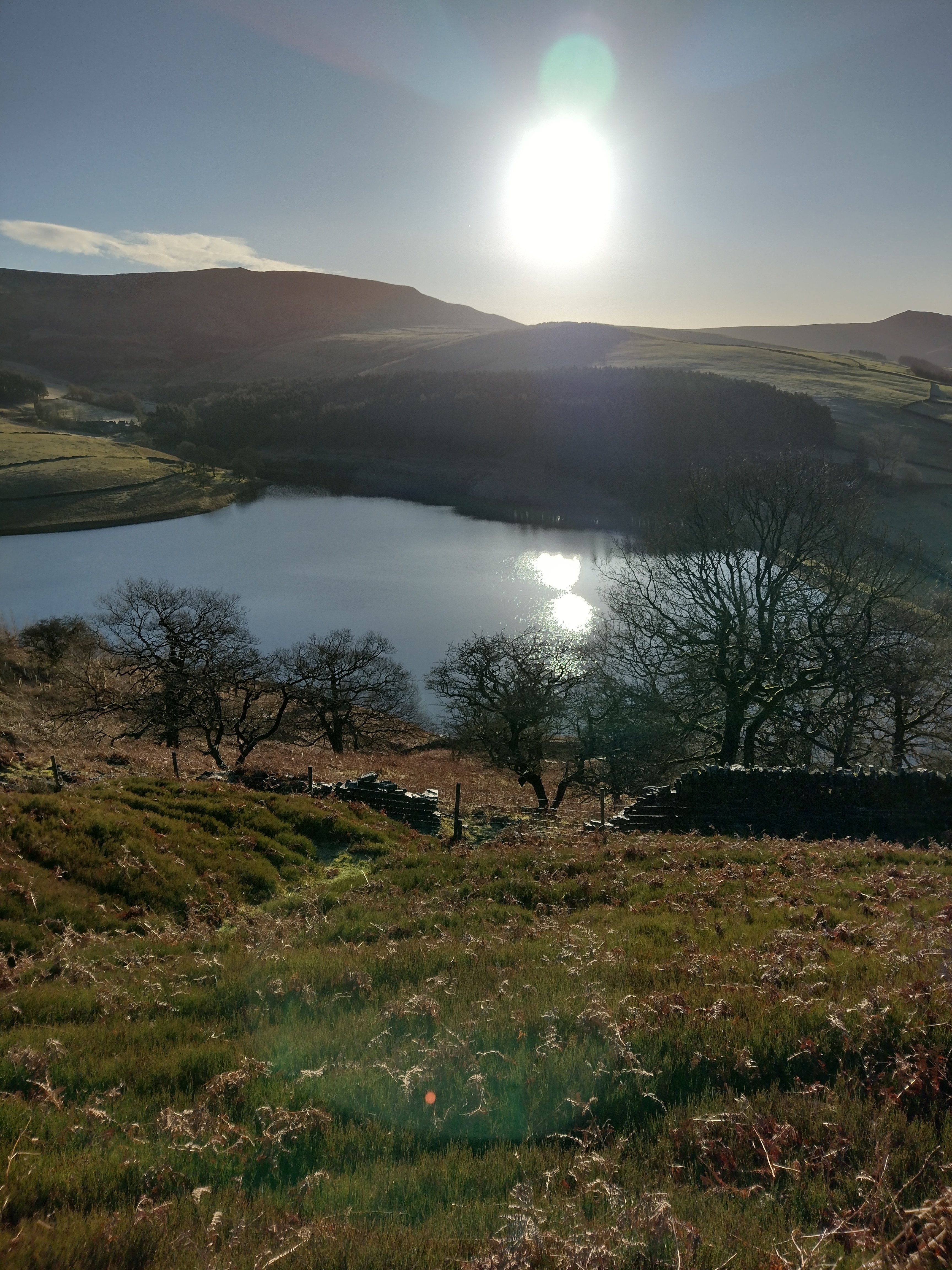
Kinder Reservoir with sunlight reflecting on the water
Peak District
Kinder Downfall via William Clough
8 mi Distance 450m Ascent 4-5 hrs Time Moderate Grade

The hidden route onto Kinder Scout — up through the dramatic William Clough valley to England's highest waterfall in the Peak District. Quiet, wild and completely different to the tourist path.

Read the guide →
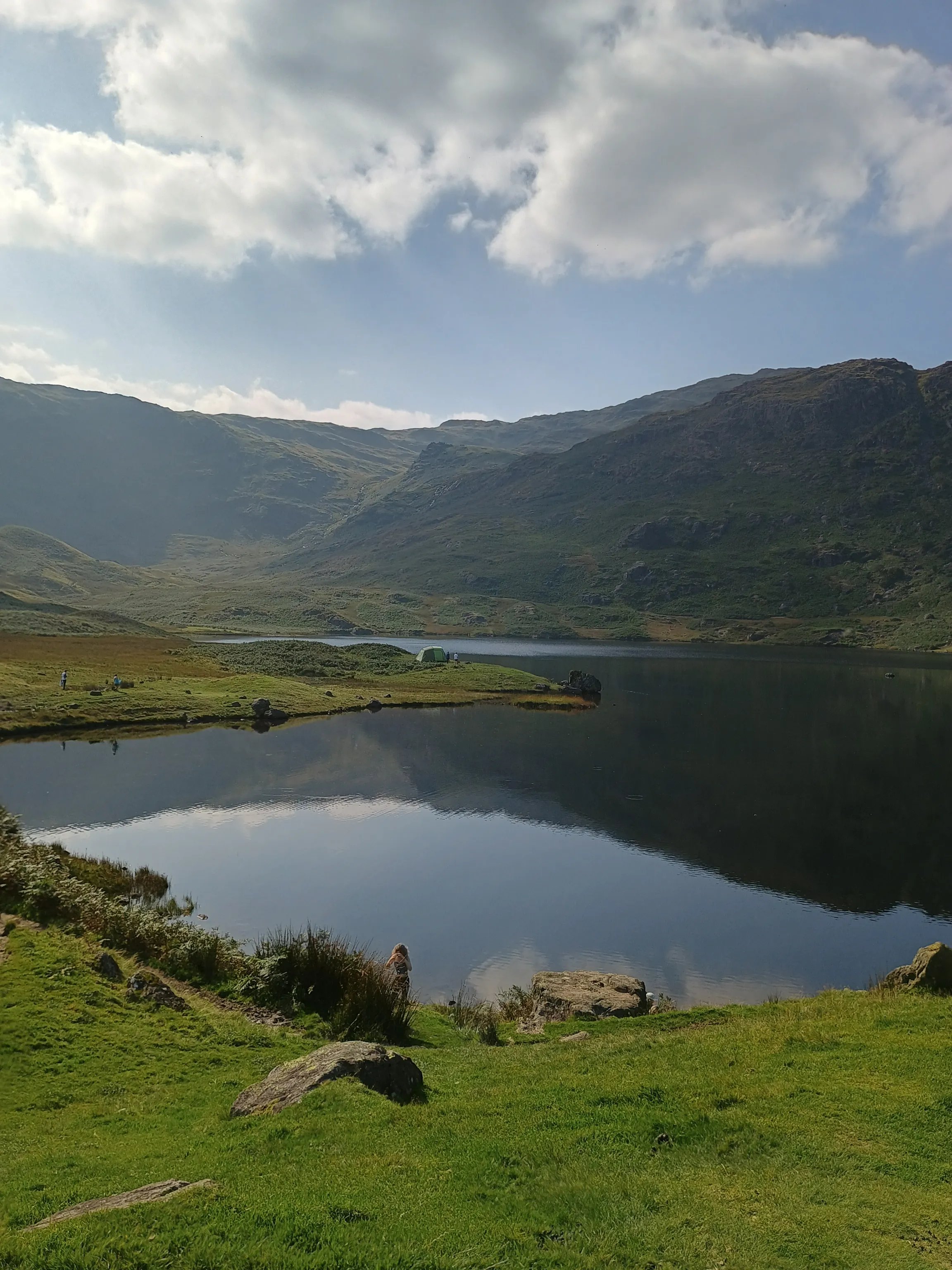
Easedale Tarn, Grasmere, Lake District
Lake District
Easedale Tarn from Grasmere
4 mi Distance 300m Ascent 2-3 hrs Time Easy Grade

One of the finest short walks in the Lake District. A gentle climb past Sour Milk Gill waterfall to a perfectly still mountain tarn cradled between the fells above Grasmere.

Read the guide →
Yorkshire Dales · Challenge Walk

The Yorkshire Three Peaks

Pen-y-ghent Yorkshire Three Peaks
Distance
24 mi
Ascent
1,585m
Time
10-12h
Grade
Hard

The Yorkshire Three Peaks needs little introduction. Pen-y-ghent, Whernside and Ingleborough — three of the finest summits in the Dales, linked by one of Britain's most celebrated long-distance routes. Done in a single day, it's a serious undertaking. Done well, it's one of the most satisfying days you'll ever spend on a hill.

"I took a group of three ladies on this route and watched them dig deep, support each other, and cross the finish line with huge smiles. That's what the Three Peaks does to people."

The Route

The classic circular route starts and finishes in Horton-in-Ribblesdale, tackling the peaks in the order Pen-y-ghent, Whernside, then Ingleborough. Most walkers complete it anticlockwise, which gives a gentler approach to Pen-y-ghent early in the day when legs are fresh.

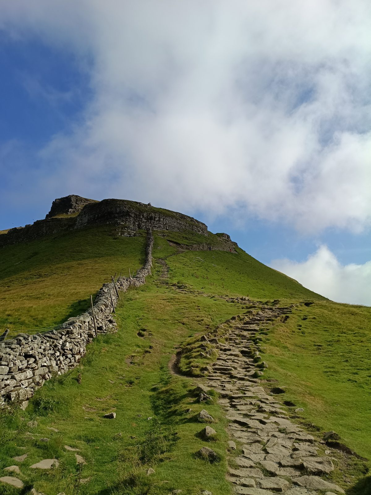
Pen-y-ghent (694m) is the first peak and sets the tone — a steep, rocky scramble to the summit with views stretching across Ribblesdale. From the top, the route drops down to Horton before heading north toward the long ridge of Whernside.

Whernside (736m) is the highest of the three and the longest to reach. The approach along the reservoir and up the spine of the ridge is spectacular — on a clear day you can see across to the Lake District. The descent to Chapel-le-Dale is steep and needs care.

Ingleborough (723m) is the final peak and arguably the toughest when legs are tired. The summit plateau feels vast and wild, the views extraordinary. From here it's a long descent back to Horton — but you'll be walking on air.

Practical Information

Start point: Horton-in-Ribblesdale car park (BD24 0HE). There's a pay and display car park in the village. The Pen-y-ghent Café at the start is famous for stamping Three Peaks cards — worth getting yours stamped at the start and finish.

Ribblehead Viaduct Yorkshire Dales

Ribblehead Viaduct — a landmark on the Three Peaks route

Navigation: The route is well waymarked but a map and compass are essential, particularly on Whernside and Ingleborough where visibility can close in quickly. OS Explorer OL2 covers the full route.

⚠️ Important: This is a serious mountain day. 24 miles with nearly 1,600m of ascent requires good fitness and preparation. Start early — ideally 6-7am. Carry plenty of food, water, and full waterproofs. Weather on the tops can change rapidly even in summer.

Best Time of Year

The Three Peaks can be walked year-round but May to September offers the best conditions. Spring brings clear visibility and manageable temperatures. Summer days give you plenty of daylight. Avoid winter unless you're experienced with navigation in poor visibility and carrying appropriate gear.

On Guided Walks

I've guided groups on the Yorkshire Three Peaks and it never gets old. Having someone who knows the route, manages the pace, and keeps spirits up on those final miles to Ingleborough makes a real difference. If you'd like to take on the Three Peaks with a guide, get in touch and we'll make it happen.
Want a guided Three Peaks experience?

Book a guided walk with Mark and take on this iconic challenge with confidence.

Book a Guided Walk
Peak District · Dark Peak

Bleaklow & the B-29 Crash Site

B29 Superfortress wreckage on Bleaklow moorland
Distance
8 mi
Ascent
450m
Time
4-5h
Grade
Mod

High on the vast, dark peat moorland of Bleaklow, scattered across the heather at over 600 metres, lie the remains of a USAF Boeing B-29 Superfortress. Known as "Over Exposed", she came down on 3rd November 1948 during a training flight from Scampton. All 13 crew members perished. More than 75 years later, the wreckage remains where it fell — a haunting, powerful reminder of those lost.

"Standing next to those engines on a grey Bleaklow morning, the moor completely silent around you — it's one of those moments that stays with you. This isn't just a walk. It's a pilgrimage."

The Story of Over Exposed

The aircraft was a Boeing B-29-95-BW Superfortress, serial number 44-62290, named "Over Exposed" — a nod to the photographic reconnaissance role she carried. On that November morning in 1948, flying through low cloud and poor visibility, she struck the moorland at speed. The impact scattered wreckage across a wide area of Bleaklow Head.

The crash site remained largely forgotten for decades before becoming a well-known destination for walkers and aviation historians. Today the four massive Wright Cyclone engines remain the most visible features, along with sections of fuselage, undercarriage, and countless smaller fragments embedded in the peat.

A small memorial plaque near the site honours the thirteen men who lost their lives. It's worth taking a moment when you reach it.

The Walk

The most popular approach starts from the Snake Pass (A57) at the layby near the Snake Inn. From here a path climbs directly onto the moor via Shelf Stones, heading northeast across the open plateau toward Bleaklow Head.

The terrain is classic Dark Peak — deep peat hags, cotton grass, and wide open skies. Navigation can be tricky in poor visibility as the moor is vast and featureless in places. The crash site itself sits just below Bleaklow Head at approximately SK 093 963.

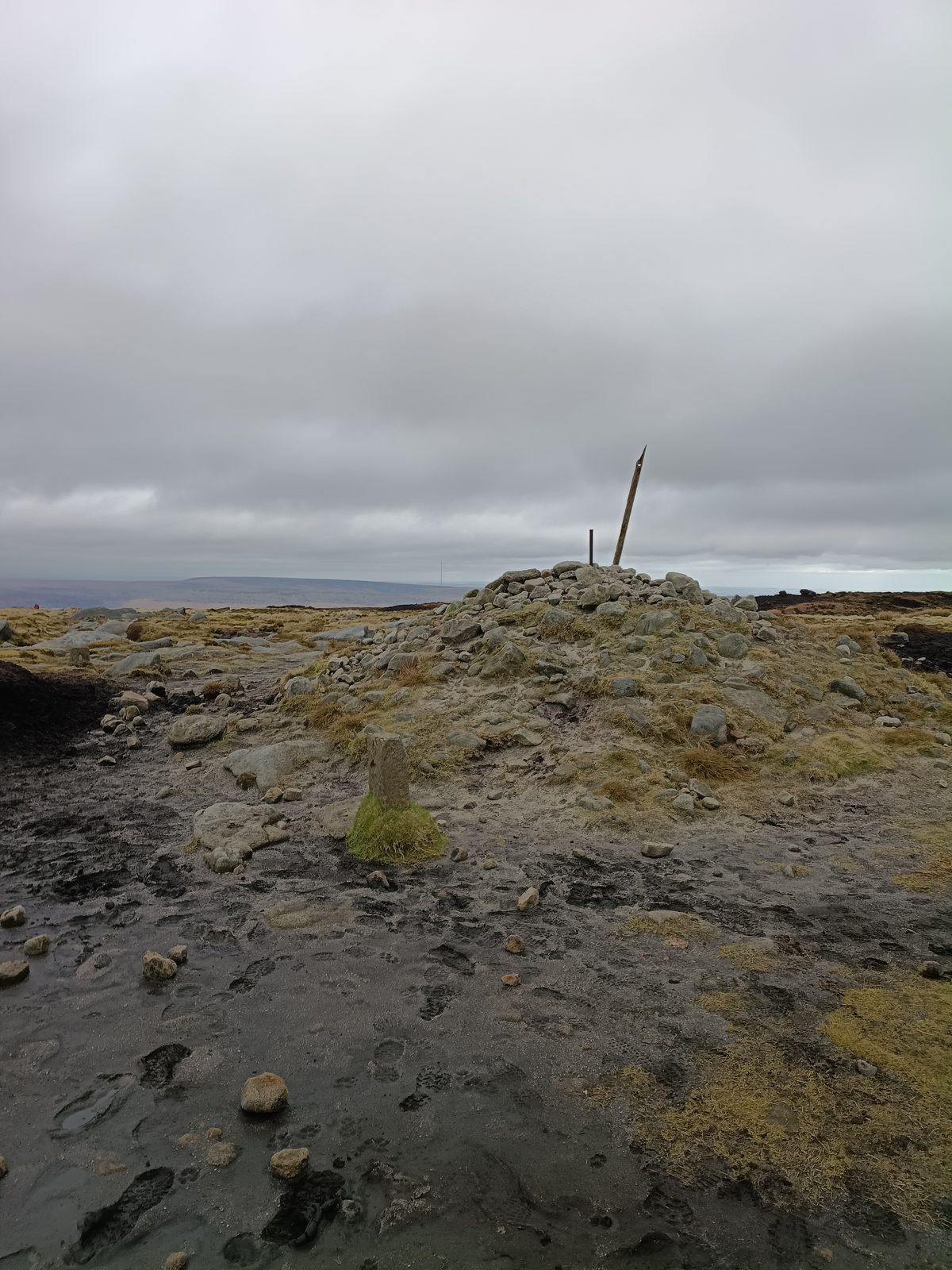
From the crash site, the route continues to Bleaklow Head (633m) — the summit marked by a series of weathered peat formations — before looping back via Wain Stones and descending back to Snake Pass.

⚠️ Navigation warning: Bleaklow is serious moorland. In low cloud or mist it is very easy to become disoriented. A map, compass and the knowledge to use them are essential. GPS is useful but not a substitute for proper navigation skills. This is not a walk for beginners in poor conditions.

What to Expect on the Ground

The peat on Bleaklow is deep and can be extremely boggy, particularly after rain. Waterproof boots are essential — trail shoes will be soaked within minutes. Gaiters are a good idea in wet conditions. The going underfoot ranges from firm paths to deep, squelching peat that can swallow a boot whole.

The wreckage itself is spread over a surprisingly large area. The four engines are the most dramatic elements — huge, rusting cylinders lying on the moor as if they simply fell from the sky. Which, of course, they did. Smaller pieces of aluminium, hydraulic components and structural members are scattered throughout the heather.

Paying Respect

The crash site is a war grave and should be treated with respect. Do not move, remove or disturb any wreckage. Take only photographs, leave only footprints. Many visitors leave small tokens at the memorial — this is a personal choice but always done quietly and with dignity.

Practical Information

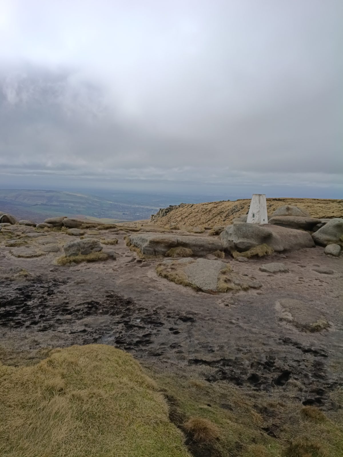
Bleaklow Head trig point

Bleaklow Head — wild and remote

Higher Shelf Stones trig point

Higher Shelf Stones — the Dark Peak at its most dramatic

Grid reference SK 088 929. Limited parking — arrive early at weekends. OS Map: OL1 — Peak District (Dark Peak Area).

Best time: Late summer and autumn when the heather is in bloom and the ground is at its firmest. Avoid after prolonged wet weather when the peat bogs become genuinely hazardous.

Get the free Dovestone GPX pack

Join the Wild About Adventure community and get your first route free.

Get Free GPX →
Peak District · Dark Peak

Kinder Downfall via William Clough

Kinder Reservoir from above, Dark Peak
Distance
8 mi
Ascent
450m
Time
4–5h
Summit
633m

Most people who walk Kinder Scout take the Edale path or the crowds up from Grindsbrook. William Clough is the one the locals know — a quiet, dramatic approach from Hayfield that takes you up through a steep-sided valley, past a hidden waterfall scramble, and out onto the highest plateau in the Peak District. It feels like a discovery every time.

"The moment you break out of William Clough onto the Kinder plateau and the whole of the Dark Peak opens up in front of you — that's one of the best moments in Peak District walking."

The Route

The walk starts from Hayfield, a small village on the western edge of Kinder Scout. From the car park, the path heads up to Kinder Reservoir — a peaceful stretch of water backed by the moor that most walkers barely stop at. Worth a moment here before the climb begins.

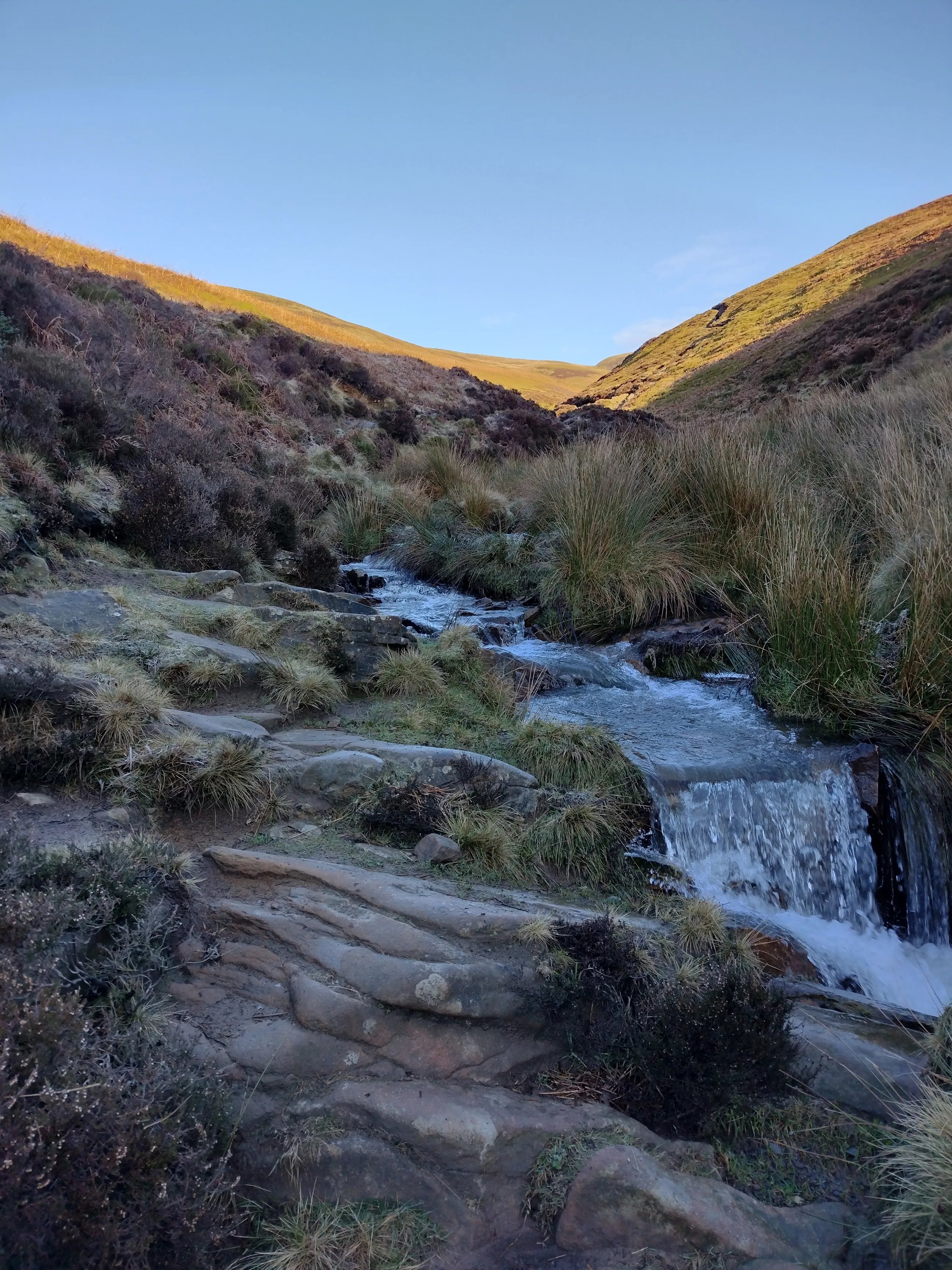
From the reservoir the route turns up into William Clough — a narrow, sheltered valley that winds steeply up onto the plateau. The path follows the clough stream all the way, and about halfway up you reach a fun waterfall scramble over gritstone slabs. Take your time here, especially if wet — the rocks are slippery but the scramble is one of the walk's best moments.

Waterfall scramble in William Clough, Kinder Scout

The waterfall scramble in William Clough — one of the walk's highlights

At the top of William Clough the path emerges onto the Kinder plateau at 633m — the highest point in the Peak District. The landscape up here is extraordinary: ancient peat hags, gritstone boulders, and views stretching in every direction. Head west across the plateau to reach Kinder Downfall — a dramatic waterfall that plunges off the edge of the plateau. In windy conditions the water blows back up as spray, which is a sight in itself.

The return route drops down from the plateau via the Sandy Heys path back toward the reservoir and Hayfield. A long, satisfying descent with the valley laid out below you all the way.

Practical Information

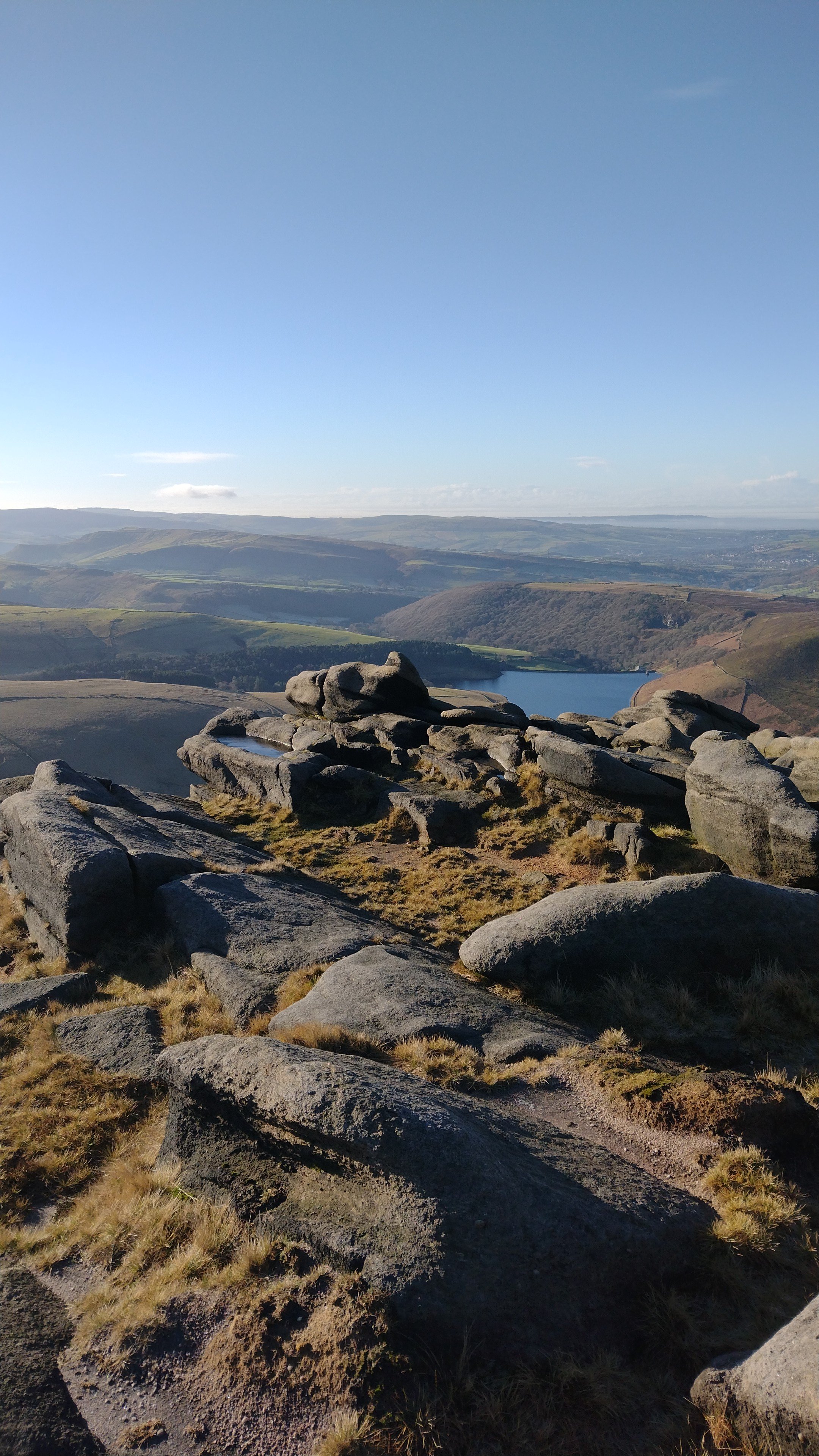
Gritstone boulders on Kinder Scout with reservoir views

Looking back toward Kinder Reservoir from the gritstone edges

Start point: Hayfield pay and display car park, SK22 2LH. The village has a pub and a café — both worth visiting before or after the walk. There's also a bus service from New Mills.

Navigation: The route up William Clough is straightforward. The plateau is a different matter — the terrain up top is complex and navigation in mist requires a map and compass. OS Explorer OL1 (Dark Peak) covers the full route.

⚠️ Important: The Kinder plateau is notorious for sudden weather changes. Clear conditions at the base can become thick mist on top within minutes. Always carry a map, compass and full waterproofs. The peat hags on the plateau are serious obstacles in poor visibility — stay on the path and know your grid reference.

Best Time of Year

This walk is good year round but spring and autumn offer the best conditions — firm ground, good visibility and golden light on the gritstone. Summer is busy at weekends. Winter is possible but the plateau can be treacherous in ice and requires crampons and experience.

GET THE FREE KINDER DOWNFALL ROUTE FILE

Download the full digital route map for Kinder Downfall via William Clough — free, no sign-up required.

Download Free Route →
Lake District · Grasmere

Easedale Tarn from Grasmere

Easedale Tarn above Grasmere, Lake District
Distance
4 mi
Ascent
300m
Time
2–3h
Grade
Easy

If you're looking for a Lake District walk that delivers everything — waterfall, mountain tarn, dramatic fell views — without requiring serious fitness or experience, Easedale Tarn from Grasmere is the one. It's four miles, the path is clear throughout, and it's suitable for anyone who can walk comfortably for a couple of hours. I've done it more times than I can count and it never gets old.

"There's something about Easedale Tarn sitting quietly above the valley that just resets everything. It's one of those places that reminds you why you bother getting your boots on."

The Route

The walk starts from Grasmere village — follow Easedale Road out of the village heading northwest. The path is well signed from the village centre and within ten minutes you're into the valley proper, following the beck with the fells rising on both sides.

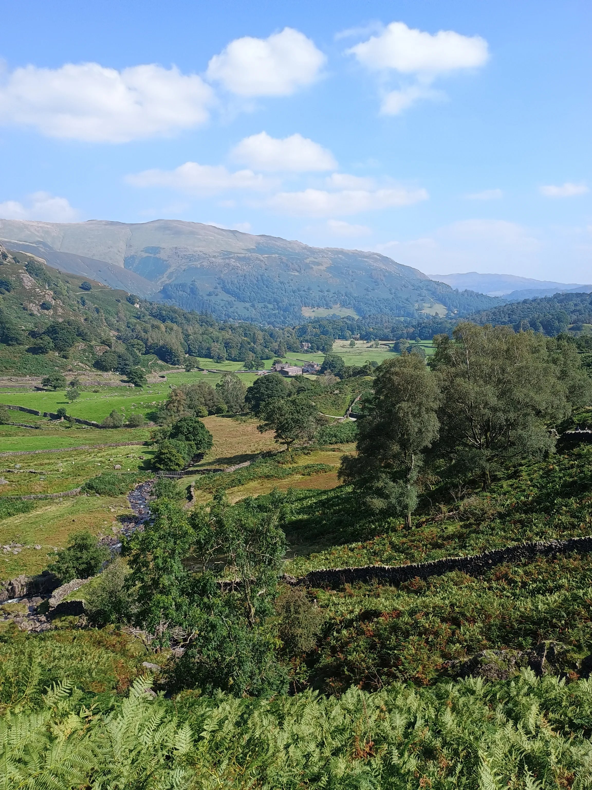
Easedale valley from the path above Grasmere

The Easedale valley opening up above Grasmere

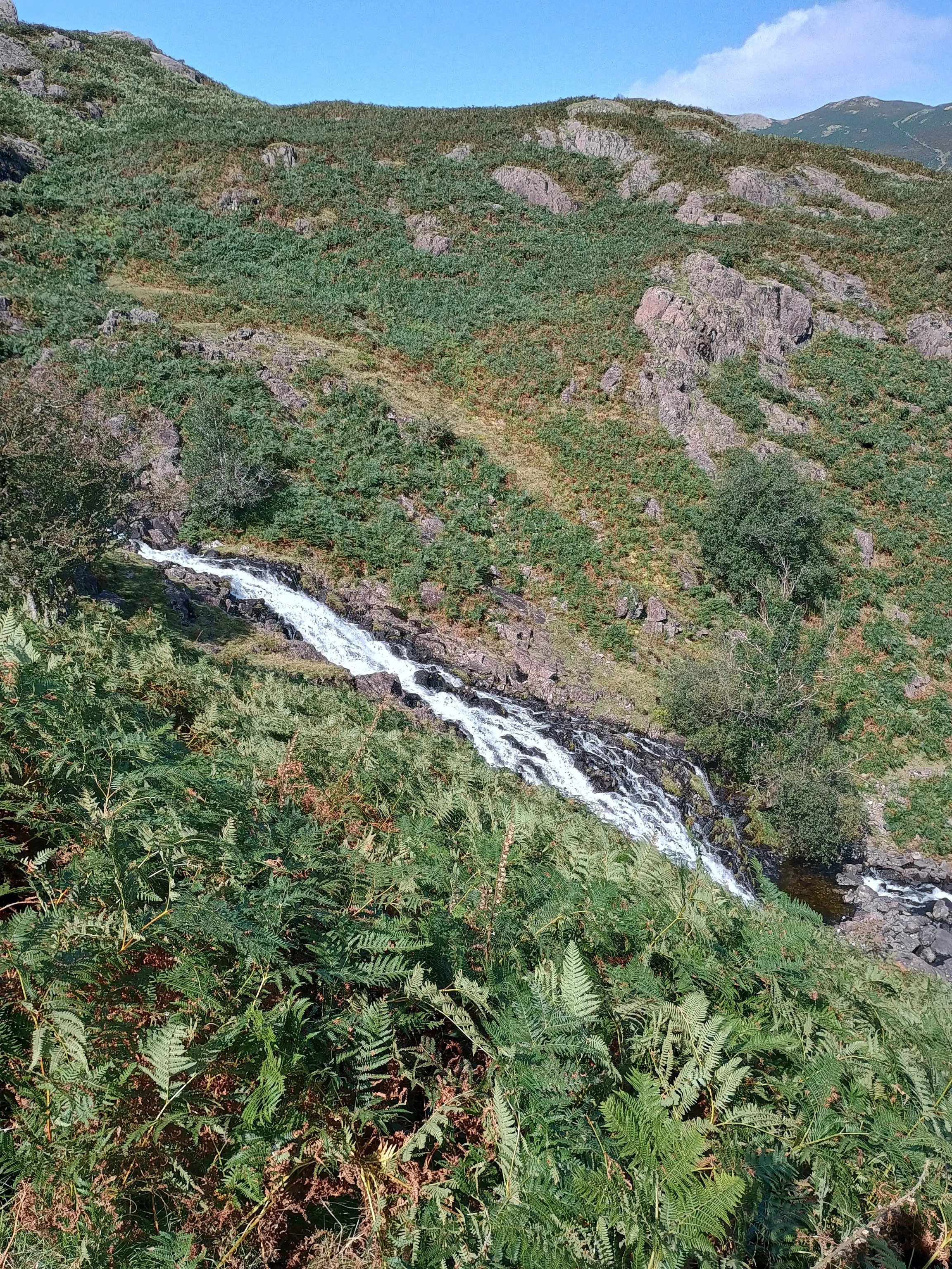
As the valley narrows the path steepens slightly and Sour Milk Gill comes into view — a waterfall tumbling down the rocky fellside that's one of the most photographed spots in the Lakes. The path passes alongside it before the final pull up to the tarn.

Sour Milk Gill waterfall on the route to Easedale Tarn

Sour Milk Gill — one of the Lake District's finest waterfalls

Easedale Tarn sits in a natural bowl at around 280m, cradled between the fells on three sides. On a calm day the reflections are extraordinary. There are flat rocks all around the shore — this is a proper lunch spot. Some people wild camp here overnight, which is perfectly legal in the Lake District and a completely different experience.

The return follows the same path back down to Grasmere. Allow extra time on the descent — the path by Sour Milk Gill can be slippery when wet.

Practical Information

Start point: Grasmere village centre. There are several pay and display car parks in Grasmere — the Stock Lane car park is closest to the start. Grasmere is also served by the 555 bus from Windermere and Keswick.

Refreshments: Grasmere has plenty of cafés and pubs — the Traveller's Rest and the Jumble Room are both good. Grasmere gingerbread from the famous village shop is non-negotiable.

⚠️ Conditions: The path by Sour Milk Gill can be very slippery after rain. Wear proper walking shoes or boots — this isn't a trainers walk. The tarn area can be boggy so keep to the main path. Weather changes quickly on the fells even on short walks like this — bring a waterproof.

Best Time of Year

Easedale is good year round but autumn is exceptional — the bracken turns golden, the crowds thin out and the light on the tarn is at its best. Spring is also lovely with clear water and fresh greenery. Summer weekends can be busy given how close it is to Grasmere — go early or on a weekday.

Extending the Walk

Confident walkers can continue beyond the tarn and climb onto Sergeant Man or across to Codale Tarn — but that takes you into more serious fell territory and requires a map and navigation skills. Easedale Tarn itself is the perfect destination for a short day — there's no need to push further unless you want to.

MORE LAKE DISTRICT WALKS COMING SOON

Get the free Dovestone GPX pack while you wait — and be first to hear about new routes.

Get Free Route Pack →