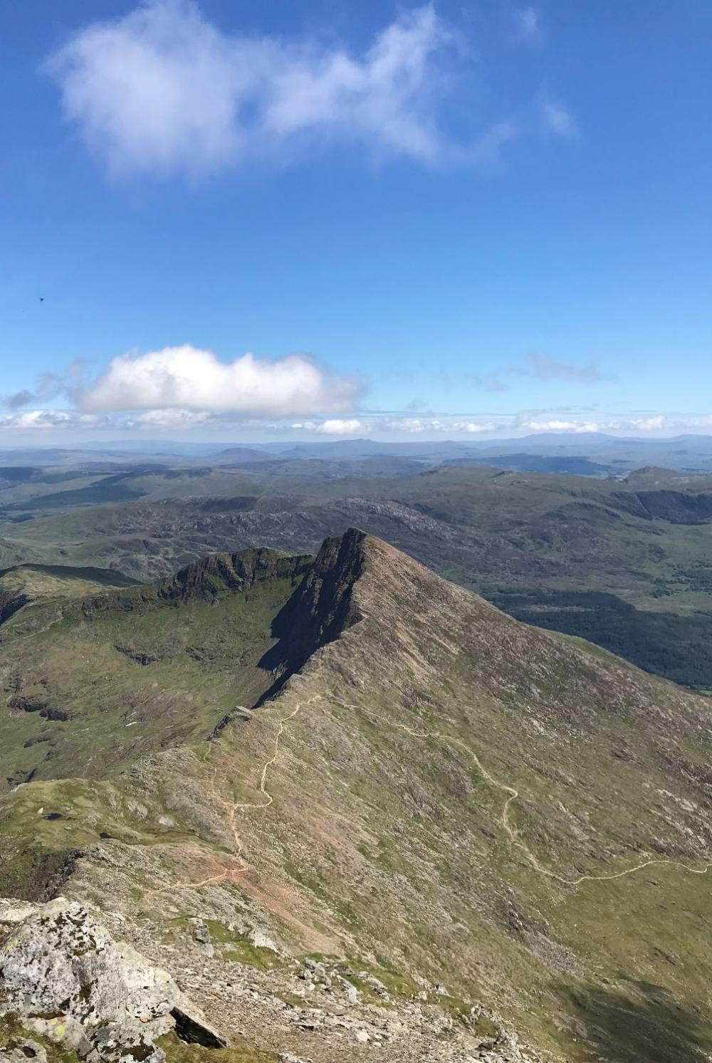
At 1,085 m, Snowdon (Yr Wyddfa) is the highest mountain in Wales and one of the busiest in Britain. It has several walking routes of very different character, from a long, steady path to narrow ridges, so choosing the right one for your group matters more than anything else. This guide explains the routes, how long they take, where to park, and what to check before you go.
Gear in this guide
Quick picks, with what each is best for. Links go to Amazon UK; as an Amazon Associate I earn from qualifying purchases, at no extra cost to you. Full reviews are on the gear page.
| Product | Best for | |
|---|---|---|
| Scarpa Terra GTX | Best all-round boot for UK hillwalking | View on Amazon |
| Merrell Moab 3 Mid GTX | Best value mid boot | View on Amazon |
| Rab Downpour Plus 2.0 | Best value waterproof | View on Amazon |
| Osprey Talon 22 | Best for day hikes | View on Amazon |
| Black Diamond Trail | Best tough, mid-priced poles | View on Amazon |
| Petzl Actik Core | Best all-round head torch | View on Amazon |
The main routes
The Ordnance Survey's Snowdon guide lists these routes. Distances and times are its estimates for the whole walk, up and back down, and the times do not include stops for food or rest. Allow longer for your group's fitness and for weather.
| Route | Length | Ascent | Time | Character |
|---|---|---|---|---|
| Llanberis Path | 14.8 km | 987 m | 6 hrs | Longest and most popular. A steady climb with only a couple of steeper sections. |
| Snowdon Ranger Path | 12.7 km | 966 m | 5 hrs 30 | Quieter, scenic, curves around Llyn Du'r Arddu. |
| Rhyd Ddu Path | 13 km | 1,050 m | 5 hrs 45 | Quiet, from the village of Rhyd Ddu. Includes a narrow ridge. |
| Pyg Track | 10.8 km | 807 m | 4 hrs 30 | Shortest route, from Pen-y-Pass. Tough but straightforward, with some boulders. |
| Miners' Track | 13.5 km | 810 m | 5 hrs | A steady start, then joins the Pyg Track for a steeper climb. |
| Watkin Path | 12.6 km | 1,050 m | 5 hrs 30 | One of the hardest. Steep, less travelled, with loose scree high up. |
| Snowdon Horseshoe | 11.7 km | 1,176 m | 5 hrs 30 | A challenging circular route with scrambling, including Crib Goch. |
Source: Ordnance Survey, Snowdon routes to the top. Other sources give slightly different figures, so treat them as a guide.
Which route should you choose?
- First time, or a mixed-fitness group: the Llanberis Path is the most gradual, and the Snowdon Ranger Path is a quieter alternative. Both are long, so allow a full day.
- A shorter, steeper day: the Pyg Track from Pen-y-Pass is the shortest route. Many walkers go up the Pyg Track and come down the Miners' Track, or the reverse, to make a circuit.
- Want it quieter: the Rhyd Ddu Path, Mark's favourite (see below). Note the narrow ridge, which the OS says occasionally needs a steadying hand.
- Experienced and fit: the Watkin Path has loose scree and steep drops high up and needs extra care in bad weather.
- Crib Goch and the Horseshoe are a scramble along a narrow ridge. The OS says the Horseshoe is best left to very experienced hillwalkers with a head for heights. On the Pyg Track, do not follow the sign for Crib Goch unless you are prepared for it.
If you use the Miners' Track, the OS notes that parts are indistinct after maintenance work, and the path becomes clearer from Glaslyn.
Mark's pick: the Rhyd Ddu Path
Mark walked up Snowdon by the Rhyd Ddu Path and rates it the best route up the mountain. It starts in the village of Rhyd Ddu, and the Ordnance Survey describes it as quiet and not too taxing, at about 13 km and 1,050 m of climbing for the round trip. The OS estimate is 5 hours 45 minutes, not counting stops.
The main feature of the route is the narrow ridge, Bwlch Main. Sources disagree on how hard it is: one calls the route easy, another challenging. The OS notes the ridge is narrow enough that it occasionally needs a steadying hand, so it is worth thinking about if anyone in your group does not like heights or exposure.
Parking and getting there
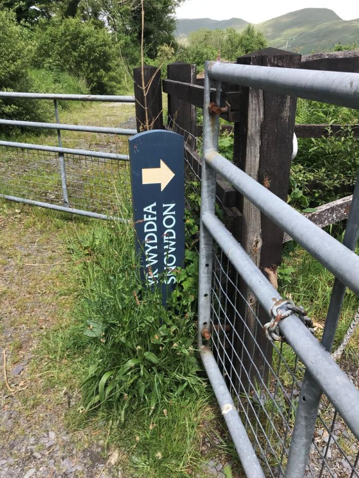
Parking is the hardest part of a Snowdon day. Eryri National Park Authority, which looks after the area, runs the car park at Pen-y-Pass (the start for the Pyg Track and Miners' Track) on a pre-booking system. It has been booked through JustPark, with prices on the park's page of around £25 for up to 8 hours, £35 for 8 to 12 hours and £45 for a full day, and no extensions. The page said pre-booking would run until 1 November 2026, so check the current rules and prices on the National Park's website before you travel.
Spaces are very limited, and guides suggest it fills early in the morning. Alternatives include the Sherpa'r Wyddfa bus, where you park at Nant Peris, Llanberis or Caernarfon and take the bus to Pen-y-Pass. Check timetables and prices on the Sherpa'r Wyddfa site, since these change. Do not park dangerously on the roads, because vehicles can be towed.
At the summit
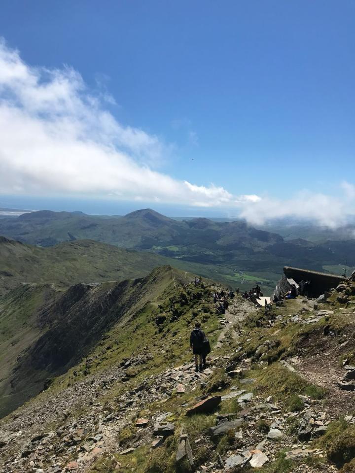
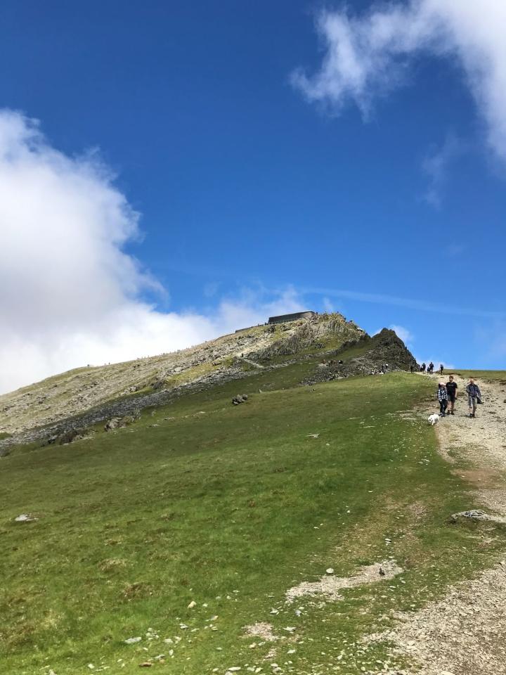
The summit café, Hafod Eryri, is usually open in milder months and can be busy at peak times. Opening times vary and it can close in bad weather, so do not rely on it. Take your own food and drink.
Weather and safety
- Check the Met Office mountain forecast before you set out, not just the valley forecast. The summit can be much colder, windier and wetter than the car park.
- Winter changes everything. The OS warns that on the Llanberis Path, winter snow can hide the route and high winds make conditions colder and harder. Snowdon in winter conditions needs winter skills and equipment, and is a serious mountain day.
- Carry a map and compass and know how to use them. See our map and compass guide.
- Know what to do in an emergency: dial 999 or 112, ask for the Police, then Mountain Rescue. See our hillwalking safety guide.
- Start early so you have time in hand, and set a turn-back time.
Snowdon and the National Three Peaks
Snowdon is the Welsh peak of the National Three Peaks Challenge (Ben Nevis, Scafell Pike and Snowdon in 24 hours). It is often the last of the three, climbed after a long drive, so allow for tired legs and a long day. Our guides to Scafell Pike and Ben Nevis cover the other two, and our training guide will help you prepare for long days on the hill.
Quick answers
How long does it take to climb Snowdon?
The Ordnance Survey estimates 4 hours 30 minutes for the Pyg Track up to 6 hours for the Llanberis Path, for the full round trip and not counting stops. Allow more for a mixed group or poor weather.
What is the easiest route up Snowdon?
The Llanberis Path is the most gradual and the longest, and the Snowdon Ranger Path is another gentler option. Easy does not mean short, so allow a full day.
Do I need to book parking at Pen-y-Pass?
Pre-booking has been required, so check the current rules on the Eryri National Park website. The Sherpa'r Wyddfa bus is an alternative.
Can I climb Snowdon in winter?
Winter conditions need winter skills and equipment. Snow can hide paths and the weather can be severe, so it is a different and more serious day from a summer walk.
Get a free GPX route and new guides
Join the list and we will email you a free GPX route (Dovestone Reservoir, Peak District), plus new guides as they are published.
No spam. Unsubscribe any time.
More guides
- Scafell Pike GuideClimbing Scafell Pike: Routes, Navigation and Parking
- Ben Nevis GuideClimbing Ben Nevis: The Mountain Path, Timings and Safety
- Training GuideHow to Train for the Yorkshire Three Peaks: A Guide for Beginners
- Clothing GuideWhat to Wear for Hillwalking in the UK: Layers, Boots and Socks